What Continent Is Aruba In? Is Aruba Part of South America?
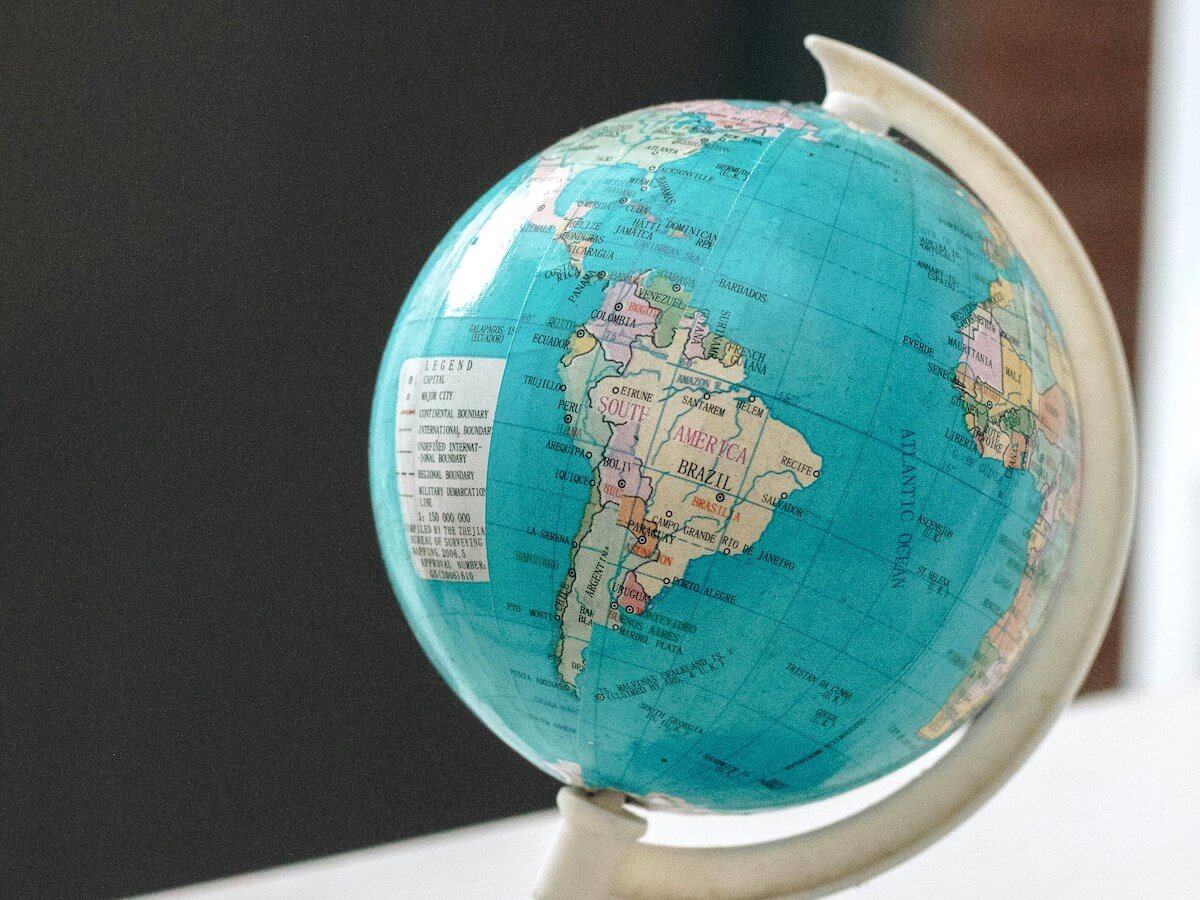
Aruba is generally considered part of South America geographically. The island sits in the southern Caribbean Sea, about 18 miles (29 km) north of Venezuela, on the South American continental shelf.
But there is a little more to the story.
Aruba is also part of the Caribbean region and the ABC Islands, along with Bonaire and Curaçao. This can make it confusing when you see Aruba described as both Caribbean and South American.
So, what continent is Aruba actually in? Let’s break it down.
Quick answer: Aruba is generally classified geographically as part of South America, while it is also a Caribbean island located in the southern Caribbean Sea.
If you want the bigger picture of exactly where Aruba sits, including maps, coordinates, distances, and how its location affects the island, see our complete guide to the location of Aruba.
Disclosure: Some of the links below may be affiliate links. At no additional cost to you, we may earn a small commission if you make a purchase.
Is Aruba in South America?
Yes, Aruba is generally considered geographically part of South America.
Aruba is located just off the northern coast of Venezuela, a country in South America. It is approximately 18 miles (29 km) from the Paraguaná Peninsula.
The island is also located on the South American continental shelf, which is an important part of its geographic classification.
This is why Aruba, along with Bonaire and Curaçao, is commonly grouped geographically with South America even though all three islands are better known as Caribbean destinations.

Aruba’s Location at a Glance
| Question | Answer |
|---|---|
| Continent | South America |
| Region | Caribbean |
| Sea | Caribbean Sea |
| Island group | ABC Islands |
| Closest mainland country | Venezuela |
| Distance from Venezuela | About 18 miles (29 km) |
| Capital | Oranjestad |
| Political status | Constituent country of the Kingdom of the Netherlands |
Is Aruba in the Caribbean?
Yes. Aruba is a Caribbean island.
This is where the confusion usually starts.
“Caribbean” describes a region, not a continent. Aruba sits in the southern Caribbean Sea and is widely considered part of the Caribbean.
Aruba is also part of the ABC Islands:
- Aruba
- Bonaire
- Curaçao
The three islands sit relatively close together off the northern coast of Venezuela.
So saying that Aruba is a Caribbean island and saying that Aruba is geographically part of South America are not necessarily contradictory.
They describe different geographic groupings.
For a closer look at Aruba’s position in the Caribbean, including maps showing Venezuela, Curaçao, Bonaire, and the surrounding islands, see our guide to where Aruba is located.
Why is Aruba Considered Part of South America?
The answer depends somewhat on how you define a continent and how you classify islands.
Aruba is exceptionally close to the South American mainland. It is only about 18 miles from Venezuela, and its location on the South American continental shelf is an important reason it is commonly associated geographically with South America.
This is different from simply saying that Aruba is “near South America.”
Aruba’s geographic relationship with the South American mainland is part of why the ABC Islands are commonly distinguished from many of the other islands farther north and east in the Caribbean.
What about Tectonic Plates?
You may see Aruba’s location explained by saying that the island sits on the South American tectonic plate.
While geology can help explain the island’s relationship to the region, tectonic plates and continents are not the same thing.
A tectonic plate can contain parts of more than one geographic region, and continental boundaries are not determined solely by tectonic plates.
For travelers, the simplest answer is:
Aruba is a Caribbean island that is generally considered geographically part of South America.

Is Aruba Part of North America?
This is where geographic classifications can get complicated.
The Caribbean is generally treated as a region associated with North America in many geographic classifications. Because Aruba is in the Caribbean, you may find sources that place it within a broader North American regional framework.
At the same time, Aruba is commonly grouped geographically with South America because of its location immediately off the Venezuelan coast and its position on the South American continental shelf.
So if you see slightly different answers online, the difference often comes down to how the source defines geographic regions and continental boundaries.
For a traveler’s purposes, the most useful distinction is still:
Aruba is in the Caribbean region and is generally considered geographically part of South America.
What Continent are the ABC Islands in?
The ABC Islands are Aruba, Bonaire, and Curaçao.
All three are located in the southern Caribbean, close to the northern coast of Venezuela.
They are commonly grouped geographically with South America because of their proximity to the South American mainland and their geological and continental-shelf connections.
That makes the ABC Islands somewhat different from many other Caribbean islands farther north.
Aruba
Aruba is the westernmost of the ABC Islands and sits closest to Venezuela.
Curaçao
Curaçao is located roughly 44–45 miles east of Aruba.
Bonaire
Bonaire sits farther east, roughly 80 miles from Aruba.
The three islands are close enough to be grouped together, but each has its own culture, landscape, and character.
Is Aruba Part of the Lesser Antilles?
Aruba is commonly grouped with the Lesser Antilles, although its location is somewhat removed from the main arc of islands that forms much of the Lesser Antilles.
This is another reason Aruba’s geography can seem confusing.
The Caribbean is made up of many different island groups, and those groups don’t all fit neatly into a single continental classification.
Aruba’s location off the coast of Venezuela makes it geographically distinct from many of the islands farther north and east.

Where Exactly is Aruba?
Aruba is located in the southern Caribbean Sea, about 18 miles north of Venezuela.
It is also:
- About 44–45 miles west of Curaçao
- About 80–81 miles west of Bonaire
- About 1,160 miles southeast of Florida
Aruba’s coordinates are approximately 12.52° N, 69.97° W.
Aruba’s southern location has a major impact on the island. It helps explain its dry climate, strong trade winds, desert-like landscape, and location outside the main Caribbean hurricane belt.
For a complete look at Aruba’s geography, size, coordinates, neighboring countries, maps, and how its location affects the weather and landscape, read our full Location of Aruba guide.
Is Aruba Part of the Netherlands?
Yes, but Aruba is not located in Europe.
Aruba is a constituent country of the Kingdom of the Netherlands.
It has its own government and manages many of its internal affairs. The Kingdom of the Netherlands is responsible for areas such as defense and foreign affairs. This political relationship is separate from Aruba’s geographic location.
In other words:
Geographically: South America / Caribbean
Politically: Kingdom of the Netherlands
That’s another reason people sometimes get confused about where Aruba is.
Is Aruba a Country?
Aruba is a constituent country within the Kingdom of the Netherlands.
It is not an independent sovereign state like Venezuela or Colombia.
Aruba has its own government, parliament, constitution, currency, and laws for many areas of domestic affairs.
If you’re interested in the political side of Aruba, see our guide to whether Aruba is a country.
So, What Continent is Aruba on?
Here’s the simplest answer:
Aruba is generally considered geographically part of South America.
At the same time, Aruba is a Caribbean island located in the southern Caribbean Sea.
Those two descriptions can both be correct because South America describes Aruba’s geographic/continental classification, while the Caribbean describes its regional location.
Aruba’s close proximity to Venezuela and its position on the South American continental shelf help explain why it is commonly associated with South America.
And that’s what makes Aruba’s geography so interesting: it is a Caribbean vacation destination with strong geographic ties to the South American mainland.
Aruba’s Geography in One Sentence
Aruba is a Caribbean island in the southern Caribbean Sea, about 18 miles from Venezuela, and is generally considered geographically part of South America.
Want to learn more? Start with our complete guide to the location of Aruba, where you’ll find maps, distances, coordinates, information about the ABC Islands, and more about how Aruba’s location affects the island.
Have additional questions about which continent Aruba is on?
Let us know in the comments!